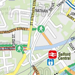
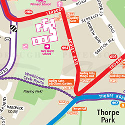
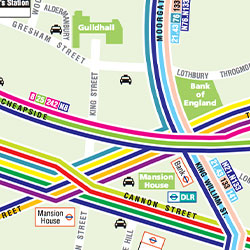
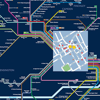
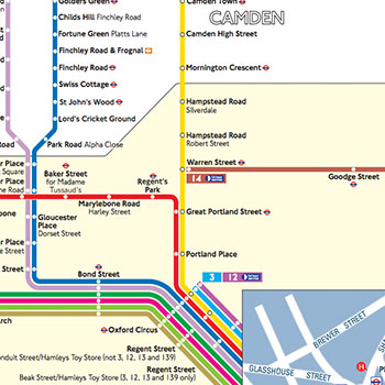
We produce a wide range of public transport maps to promote traveling by bus, rail, ferry and tram including:
- County Maps
- Town Maps
- Individual Route Maps
- Fare Zonal Maps
- Bus & Rail Network maps
- Key Bus & Rail Interchange Maps
- Where to Board Your Bus Maps
- Onward Travel Maps
All are maps are designed to meet your specific requirements and can be produced in a wide range of styles including:
Traditional
Frequency
Multi-Colour
Schematic
We use the latest technology including Illustrator and GIS to create all our maps. The maps can also be incorporated into attractive printed leaflets and posters artwork.
We can also produce an interactive online versions with the following functionality:
- Fully pan-able mapping
- Multiple scales of mapping
- Full search functionality
- clickable hotspots providing additional information to the visitor
- links to external websites
view our Public Transport portfolio
Public Transport Maps