Looking to put together a Local Plan setting out planning policies and proposals for new development or need a map for a bid?
Pindar Creative can assist by creating maps that can be printed for inclusion in your submissions or by utilising our mapping framework to produce an interactive mapping solution.
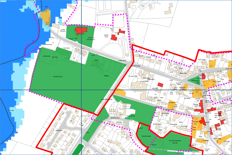
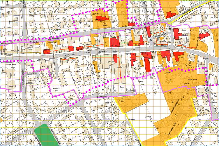
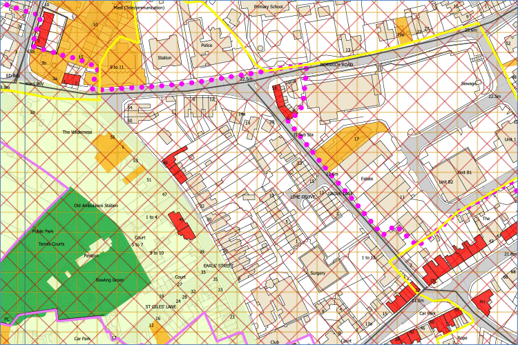
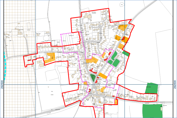
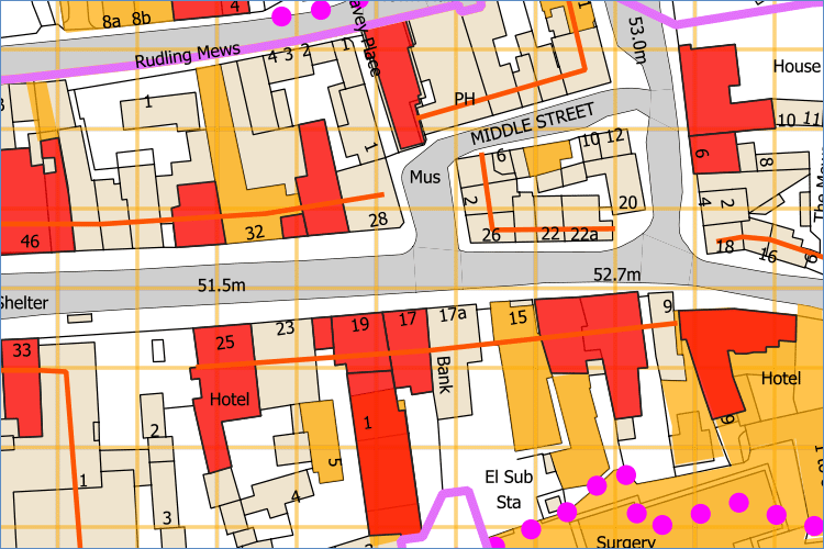
Local Plans are used to help decide on planning applications and other planning-related decisions. In effect, they are the local guide to what can be built where, shaping infrastructure investments and determining the future pattern of development in the borough. Key to this is having detailed cartographic solutions.
Pindar Creative can help with the production and can assist with every stage of the process:
- Ordnance Survey base maps
- Addition of GIS data to highlight proposed changes
- Map design elements
- Cartographic editorial service
- Presentation of proposal documents
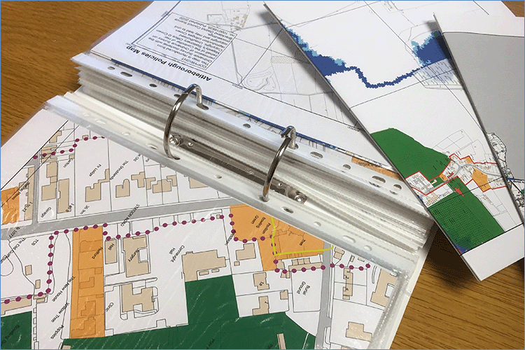
- Printing of documents and maps
These maps can be supplied in printed, interactive or a digital formats for supply to remote stakeholders.
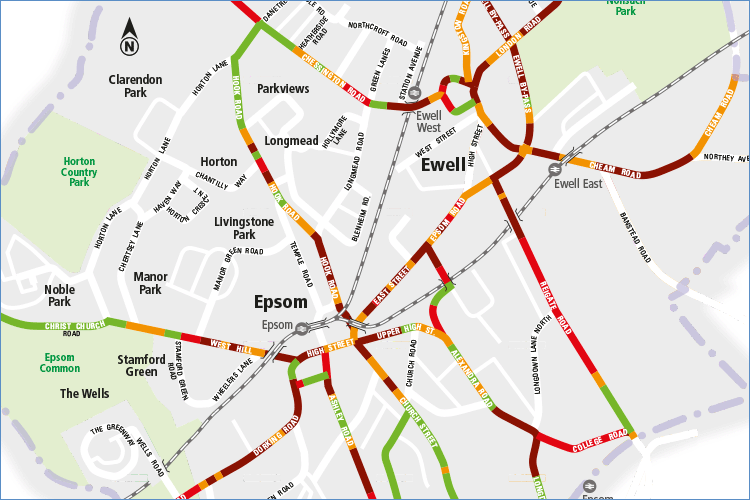
With interactive mapping you can have:
- Pan-able mapping
- Layers which can be turned on and off
- Multiple map layers showing different scales of mapping
- Clickable Hotspots (linking to additional information)
- Clickable Popups that can display a verity of information from Text, images, links etc
- Search functionality
- Responsive Design to ensure mapping solutions work across as many devices as possible