At Pindar Creative, we specialise in developing interactive mapping solutions to promote sustainable travel. Our bespoke websites are tailored to meet the needs of local authorities, transport providers, and educational institutions - helping users engage with travel information in a more dynamic and accessible way.
We design interactive mapping for websites with user experience in mind. Features commonly included in our platforms are:
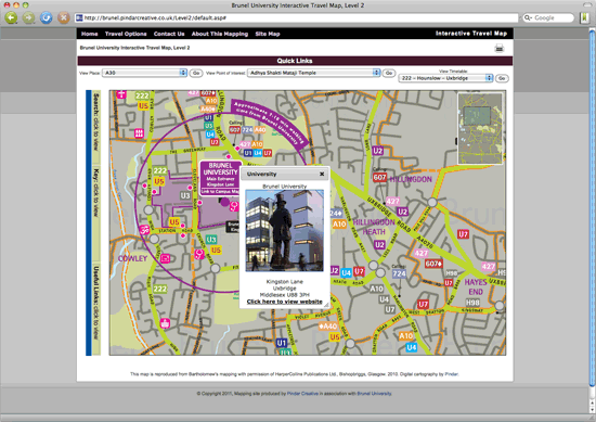
- Pan-able, zoomable maps
- Customisable layers (e.g. cycling routes, bus networks, walking paths)
- Multiple map scales and overlays
- Clickable hotspots linking to timetables, real-time updates, journey planners, and external websites
- Search functionality for quick navigation
- Bus and cycle route highlighting
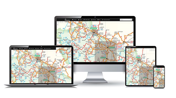
- Fully responsive design across desktop, tablet, and mobile devices
Our interactive solutions go beyond maps. We also offer a wide range of digital tools and publications, including:
- Bespoke and eCommerce websites
- Digital page-turning publications
- iPhone, iPad, and Android-compatible content
- Mobile-optimised sites and travel apps
Explore examples of our interactive mapping websites by visiting our live TravelLinks projects for Dorset and Basingstoke or browse our full interactive mapping product matrix.