Copyright do's and don'ts
05 February 2021
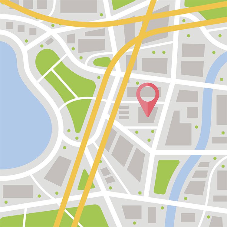
You might be thinking about creating a new map and wondering what base map or mapping source you can use as a reference.
One of the most common mistakes we encounter is the use of Google Maps or Google Earth.
The following information from Google's permissions page provides clarity to some of the most common incorrect uses of Google:
Unless you have received prior written authorisation from Google (or, as applicable, from the provider of particular Content), you must not:
- redistribute or sell any part of Google Maps/Google Earth or create a new product or service based on Google Maps/Google Earth (unless you use the Google Maps/Google Earth APIs in accordance with their terms of service);
- copy the content (unless you are otherwise permitted to do so by the Using Google Maps, Google Earth, and Street View permissions page or applicable intellectual property law, including "fair use");
- mass download or create bulk feeds of the content (or let anyone else do so);
- use Google Maps/Google Earth to create or augment any other mapping-related dataset (including a mapping or navigation dataset, business listings database, mailing list, or telemarketing list) for use in a service that is a substitute for, or a substantially similar service to, Google Maps/Google Earth; or
- use any part of Google Maps/Google Earth with other people's products or services for or in connection with real-time navigation or autonomous vehicle control, except through a specific Google-provided feature such as Android Auto.
There are other limits spelt out on Google's permissions page, for example, you can't create a map by tracing a Google Map. For more information visit Google's terms of service.
At Pindar Creative, we use royalty-free map bases and have the expertise to answer any copyright questions you might have.
Here is just a selection of the mapping services, provided by Pindar Creative:
- Cycling and Walking Maps: High-quality maps for cyclists and walkers, which are easy-to-use, enabling the user to navigate to and through an area instinctively.
- Public Transport Maps: High-quality maps for cyclists and walkers, which are easy-to-use, enabling the user to navigate to and through an area instinctively.
- Interactive Mapping: Responsive, interactive mapping websites including pan and zoom mapping functionality, interactive hotspots and layers which can be turned on and off.
- Wayfinding Totems and Signage: Attractive wayfinding maps for on-street signage and information totems.