Pindar Creative Delivers 18 Maps for CPCA's Bus Network Reimagined
16 July 2026
Pindar Creative has produced a suite of 18 consultation maps for the Cambridgeshire & Peterborough Combined Authority's (CPCA) Bus Network Reimagined programme, illustrating both the current and proposed supported bus network across nine distinct areas of Cambridgeshire and Peterborough.
Completed in June 2026, the mapping will form a key part of an upcoming public consultation on proposed changes to local bus services. The consultation will invite residents, passengers, businesses and stakeholders to review proposals for their area and provide feedback before decisions are made on future network changes.
Bus Network Reimagined is reviewing supported bus services across the Combined Authority area to create a network that is more reliable, better connected and delivers the best value from available funding. The programme forms part of CPCA's wider work to improve bus services and public transport connectivity across the region.
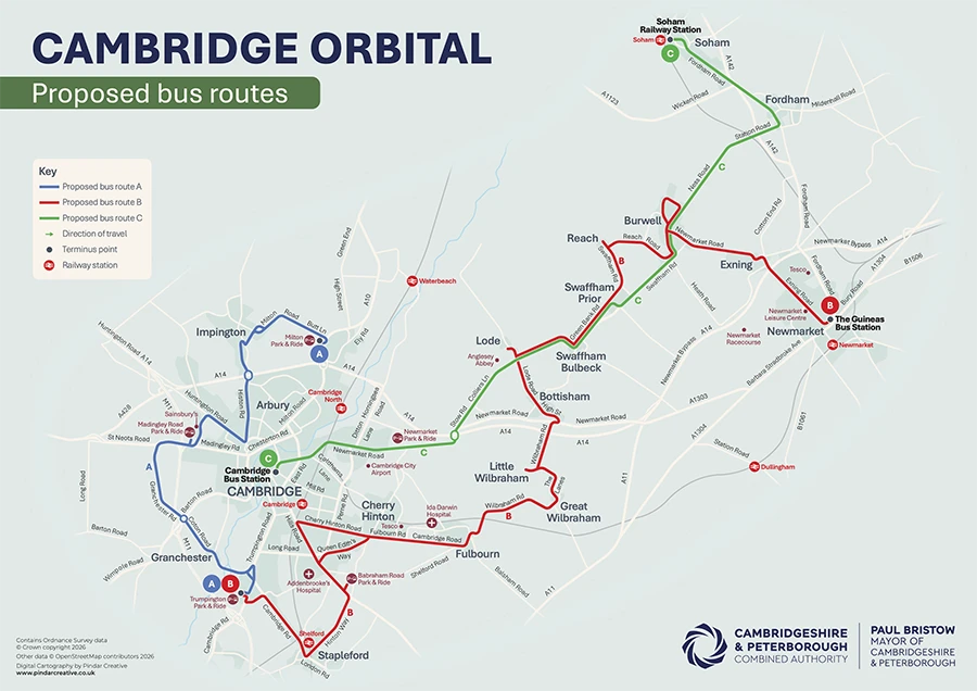
Pindar Creative was commissioned to create nine pairs of consultation maps, with each pair comprising a map of the current network and a corresponding map showing proposed future services for a specific part of the region. These maps enable consultation participants to compare existing and proposed networks side-by-side and understand how services in their local area could change.
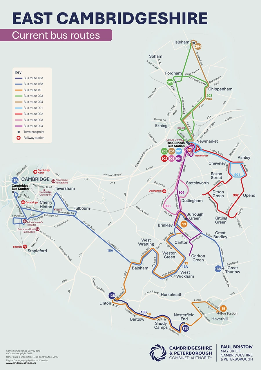
The CPCA regions in this project are:
- Cambridge Orbital
- East Cambridgeshire
- Fenland
- Peterborough
- Service T1
- South Cambridgeshire
- St Ives to Earith
- St Neots and St Ives
- West Huntingdonshire
These maps were designed to allow consultation participants and residents understand how bus route changes could affect their journeys to work, education, healthcare and other key destinations.
Presenting proposed bus network changes can be challenging, particularly when consultations cover a large geographical area and multiple route options. By creating a series of locally focused maps rather than a single county-wide overview, the consultation materials allow residents to quickly identify the services relevant to their communities and understand proposed changes in greater detail.
The maps were designed using a consistent cartographic style across all nine areas, ensuring that existing and proposed services can be compared easily. The artwork was supplied in formats suitable for both printed consultation materials and digital engagement platforms.
The mapping demonstrates the important role that clear cartography plays in public transport planning and consultation. Whether supporting bus network reviews, Bus Service Improvement Plan (BSIP) programmes, franchising proposals or wider transport strategies, well-designed network maps help transport authorities communicate complex proposals clearly and encourage meaningful public engagement.
The project adds to Pindar Creative's extensive portfolio of transport mapping work for local authorities, combined authorities and public transport organisations across the UK. From consultation mapping and passenger information to wayfinding and network publicity, Pindar Creative helps transport authorities communicate complex transport networks clearly and effectively.